
Alexandria Previous Residents by Era
The best source changes with the era. Current assessment data establishes a modern parcel and a recorded deed leads through title. During a gap between deeds, criss-cross directories, permits, maps, and census schedules can show when a building existed and which household or business a printed edition associated with its address. Alexandria's historical record trail is unusually layered because its public online land index has gaps while the Clerk, Library, FamilySearch catalog, and Archives preserve overlapping physical sources.
| Source | Years it covers | Where held | What it contributes |
|---|---|---|---|
| Current assessment card | Current, with prior values visible back to 2000 on the inspected card | City Real Estate Assessments | Account, map-block-lot, situs and mailing distinction, legal description, building details, and sale links. |
| Online land-record index | 1785-1801, 1821-1824, and 1930-present | Alexandria Clerk COVERS/SRA | Grantor-grantee path and post-1930 instruments, subject to image-access rules. |
| Physical Clerk records | December 1782-October 1993 | Clerk public records room | Printed indexes, books, and microfilm that bridge the online gap. |
| FamilySearch land catalog | Deed books 1801-1901; general indexes 1799-1920 | FamilySearch Alexandria/Arlington catalog | Historical books and indexes on 22 reels, with jurisdiction care required. |
| Directories and maps | Directory from 1791; criss-cross from 1924; Sanborn editions from 1885 | Alexandria Library, Archives, and Library of Congress | Address-to-household clues, street translation, building footprint, use, and date context. |
| Permits and census | Permits from the 1890s forward; federal census released through 1950 | Library, Archives, Census/NARA | Construction, alteration, household relationship, age, and occupation context. |
Start from the source closest to the date in question. For a recent address, begin with the parcel and deed. For an early house, use the legal description to join deed books to directories and maps, then pair a directory edition with the nearest available census. This is how a previous-resident search remains about one address rather than a loose name search.
Anchor an Alexandria Address
The City of Alexandria Real Estate Assessment Search is the modern anchor. Search by address, account number, or map number. On the address path, the street name is required, while street number and unit are optional. A returned card can show the situs address, account, map-block-lot, owner name, owner mailing address, legal description, tax status, building details, assessment history, and sale references. Do not merge the mailing address with the situs address. A post-office box or agent address may be entirely valid tax correspondence.
Open the linked Parcel Viewer after saving these fields. Its parcel shape, zoning, and available historic subdivision plats can reveal whether a present address sits on a combined lot, a condominium unit, a rear parcel, or a parcel whose number has changed. The City describes its maps as informational rather than survey-quality or title evidence. That is why the map verifies the place, while the legal description and recorded instrument carry the deed-chain work.
Note: Record the account, map-block-lot, situs, mailing address, and legal-description wording before searching names, because each field can resolve a different historical mismatch.
Trace Alexandria Previous Residents Through Deeds
Recorded deeds normally trace owners rather than every past resident, but they form the backbone of an address history. At the Virginia SRA/COVERS land-record system, locate the current owner as a grantee and read the most recent instrument. Preserve the grantor, grantee, recording date, document number or book and page, deed type, legal description, consideration if shown, and any prior-instrument reference. A legal description is especially important if the home was subdivided, consolidated, or renumbered.
The backward logic is simple but deliberate. The grantee in the current deed is the buyer. The grantor is the seller. Search that seller as a grantee to locate the seller's own acquisition, then repeat. Follow both roles and compare the legal description at every turn. A change from a named lot to a consolidation, or from a lot to a portion of a tract, means the predecessor parcel and adjacent deeds may need review.
- Copy the current assessment card's account, map-block-lot, situs address, and legal description.
- Find the current owner as grantee in the land index and open or request the latest deed.
- Record the prior-instrument reference and search the seller as a prior grantee.
- Repeat backward, keeping the grantor, grantee, date, instrument reference, and parcel wording on each line of the research log.
- When the online run ends, carry the same names and legal description into printed indexes, books, microfilm, FamilySearch, or Library Special Collections.
- Grantor
- The person or entity conveying an interest in a recorded instrument, usually the seller in a deed.
- Grantee
- The person or entity receiving that interest, usually the buyer. A former grantor is often found next as an earlier grantee.
- Chain of title
- The linked sequence of recorded transfers for one parcel. It tracks legal ownership, not every occupant.
- Legal description
- The lot, block, subdivision, metes-and-bounds, or related land wording that identifies a parcel more durably than a street address.
The SRA/COVERS interface is the online entry point for the deed-index portion of this Alexandria previous-residents trail.
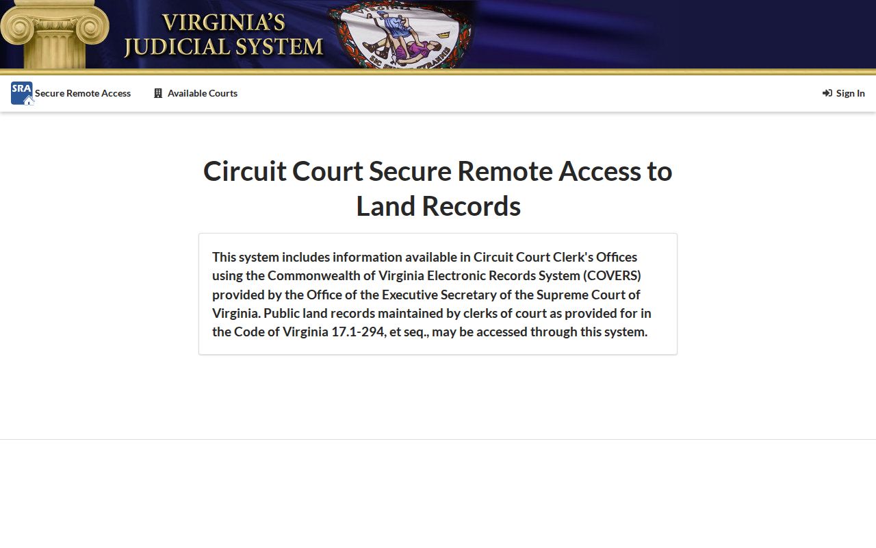
An index result supplies a starting reference; the deed image or Clerk copy is where the property description and prior-reference details should be checked.
Alexandria Land-Record Time Gaps
Online coverage should never be mistaken for all Alexandria deed history. The Clerk lists online land records for 1785 to 1801, 1821 to 1824, and 1930 to the present. Its physical printed indexes, books, and microfilm run from December 1782 through October 1993. The break between the early online books and the post-1930 run is a direction to change access channels, not proof that a house had no owners or previous residents.
The Alexandria Clerk's land-records page identifies the counter, online access, and copy routes. Copies are listed at $0.50 per page, with $2 certification. The Clerk's public records room, mail copy route, Library Special Collections, and the FamilySearch Alexandria/Arlington catalog support the earlier paper and filmed trail. SRA can provide a 30-day waiver to new subscribers, but image access remains subject to the Clerk's authorization and subscription arrangement.
Map an Alexandria Address Through Time
Before searching an older number as if it were modern, translate the address. Alexandria's 1887 renumbering assigned sequential hundred-ranges by block. Early directory entries can give a location such as a street near a cross street instead of a modern number. The 1877 Hopkins Atlas and Sanborn fire-insurance maps provide the local bridge. Confirmed Sanborn editions include 1885, 1891, 1896, 1902, 1907, 1912, and 1921, with later editions also listed in collections.
The Library of Congress 1885 Alexandria Sanborn map is one example of the map layer. Sanborn sheets can show building footprints, construction materials, use, stories, and lot arrangements. They do not identify title owners. Use a map to test whether an address or structure existed at a date, then return to the deed, directory, permit, or census source that can support the relevant person or ownership claim.
Alexandria Permit Dates Fill Gaps
Permits often explain the period between a deed transfer and a directory entry. Alexandria Library's house-history guide identifies permits from the 1890s to 1920s that can be indexed by property address and owner. The City Archives lists new-construction permits from 1930 to 1960 and building-alteration permits from 1930 to 1950. These records can establish when an addition, alteration, demolition, or new construction appears in the house history.
For current work, APEX publishes active plans, permits, and code cases without sign-in. Public entries can include an address, permit number, status, inspections, work description, applicant or contractor, and attachments where available. Applicant eReview is restricted. An applicant is not automatically a resident or owner, so use the permit as a dated project record and use a deed to confirm title. The Archives & Records Center is appointment-only, and requests currently go through FOIA.
City archival work has also produced a vivid local reminder of what unprocessed files may hold: January 2026 PRAC minutes mention a permit application for Gerald Ford found in a box from shortly after he became Vice President. Verify any underlying item with Archives rather than treating the meeting note as the permit itself.
Alexandria Previous Residents and Renumbering
The 1887 address reset can hide a former resident from a modern address search. Preserve an old number, a corner description, the street's historical spelling, and the lot or block description. A 1953 street naming plan, effective July 1 of that year, formalized official names and old/new variants. Directional prefixes and suffixes need the same care. Search current and historical forms, then use maps and the legal description to determine whether the address describes the same parcel.
Do not assume all Alexandria records used today's municipal geography. The City became independent in 1871 and boundary changes in 1915, 1930, 1951, 1966, and 1973 altered record labels. The 1930 change absorbed the Town of Potomac, connecting Del Ray and St. Elmo material to modern Alexandria. A county, city, Fairfax, Arlington, or Town of Potomac label may be the right historical route for an otherwise familiar address.
Note: A translated address is a research conclusion supported by maps and parcel details, not a simple word substitution in a modern search box.
Pair Alexandria Directories and Census
Deeds identify an ownership trail. Directories and census schedules help answer who lived there before. Alexandria's first local directory dates to 1791. The Library has a nearly continuous run from 1950 to 1980, and directories from 1924 onward include an address-oriented criss-cross section. City Archives lists directories from 1950 to 1979 with some gaps. The Library of Congress makes the 1924 Hill Directory Co. volume available as a 424-image public-domain record.
Use a simple process: address and legal description, then a criss-cross directory for a dated occupant or business, then the nearest released census for household relationships. Federal census schedules through 1950 are released under the 72-year rule. Record the directory's edition and page, then compare it with the census date because a directory and census do not capture a household on the same day. The full shelves and entry-reading practice belong in the Alexandria city directory resource; here, each edition is a dated stop in one address history.
Past Households in Alexandria Records
A person listed in a directory may be a resident, owner, business operator, or household member as the publication recorded it. A directory occupant is not automatically the title owner, and a deed owner is not automatically the household resident. Pairing both sources produces a more honest account of past residents. When a household disappears, use the Alexandria Gazette obituary compilation, which covers 1784 to 1915, the online Virginia Chronicle Gazette run from 1834 to 1923, cemetery volumes, and probate or wills and fiduciary files as carefully dated endpoint sources.
Obituaries and probate can identify a death, executor, heir, or next address, but any relationship should be verified in the actual public filing or primary source. The Library also holds WPA birth and death indexes, tombstone volumes, newspapers, deed and will microfilm, and local history assistance. Staff can route a house-history request to the relevant collection; the research guidance notes that staff requests can take up to two weeks.
Lawful use. Alexandria house-history and family-history research should respect private lives. Never use information about previous residents to stalk, harass, track, intimidate, or harm a living person.
Alexandria Boundaries Alter Records
Record geography is the final check in a past-residents search. Alexandria is an independent city, yet an Alexandria postal address can fall in Fairfax County or Arlington County. Nearby historic records can also describe Alexandria County or a District of Columbia context. Before ordering a record or treating an absent city result as conclusive, compare the historical date, map, locality label, and present parcel location.
That check is particularly useful at the modern boundary and in annexed areas. It keeps a former-resident trail from mixing separate custodians or treating an Alexandria mailing label as proof of City jurisdiction. When the property is outside the City, move to the appropriate Fairfax or Arlington records office instead of forcing the search through Alexandria's assessment and Clerk systems.